Out and about quickly in the city Here’s what the new SWB app "BonnMobil" can do
Bonn · The public utility company’s new BonnMobil app interlinks buses, trains, cars and rental bikes. In future, it is also to get its own navigation system.
It is able to find the quickest way to work, but not only taking account of cars, but also of bikes, taxis, buses and trains. All of this is on offer from the new free “BonnMobil” app from Bonn’s public utility company, Stadtwerke Bonn (SWB). It has been available for download onto smartphones for several weeks and can even be used to track public transport in real time.
But the app can do even more. It offers an overview of available parking spaces in Bonn’s multi-storey car parks, provides the location of available rental bikes, points out the city administration’s wifi hotspots, up-to-date roadworks and information on disruptions. The app combines many functions to link the various forms of transport to one another. However, it is having to battle teething problems and will constantly be further developed.
In evaluations of the app, users have complained that the so-called Livetracking does not work reliably. The data is supplied by the SWB’s control centre, which locates every bus and train by GPS signal. In the event of disruptions, the technology automatically reports that the bus is stuck in a traffic jam and cannot get any further. The delays are taken into account and displayed in the arrival and departure times – ideally.
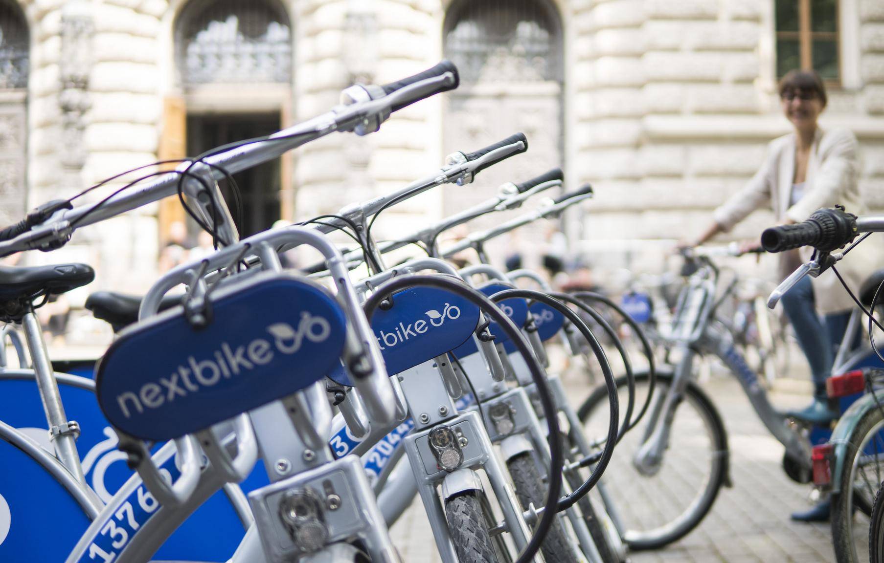
But there are also many things that work well. For example, you can personalise the city map that opens when you start the app. Coloured lines show the route map of the public transport system. Each user can make an individual selection as to which additional functions are displayed. Hospitals, libraries or tourist sights and hotels can be displayed as “city information”– together with the nearest stop including its exact distance to the metre. With a few clicks, the regular map is transformed into a cycle map. The individual rental bikes from Nextbike are as easy to see as the hundreds of stations throughout the city area. All the functions have also been translated into English.
Every expansion of the app costs the SWB money
“We have integrated all relevant modes of transport in the city in one app,” says SWB spokesperson Michael Henseler. The programming took several months and the app uses various databases. Everything is based exclusively on Open Data: data that is already publicly available and can be used by anyone free of charge. It will be different for functions available in the future. Every expansion costs the SWB money. “A payment system is missing; currently it is only possible to link to SWBeasy.Go,” explains Henseler. By the start of 2020 at the latest, users should also be able to pay using BonnMobil. An intermodal navigation system is also on the programmers’ list, which is particularly expensive according to Henseler. “There is currently also no interface connection to the city’s citizens’ services.”
The SWB is happy with the user numbers. Other cities are also showing interest in BonnMobil. This would allow the cost of the app to refinanced in part.
(Original text: Nicolas Ottersbach, Nathalie Dreschke. Translation: kc)